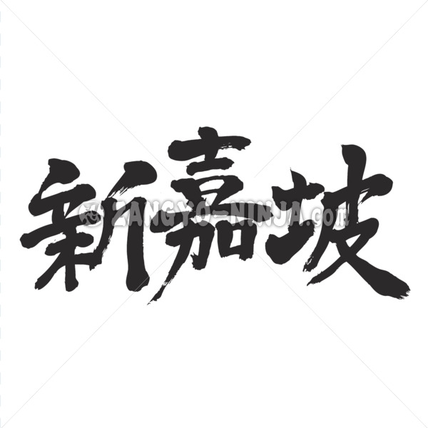
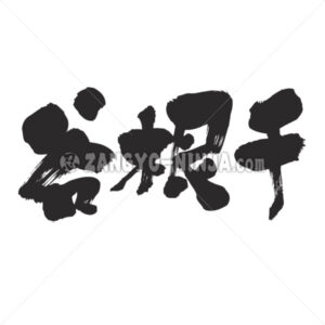
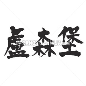
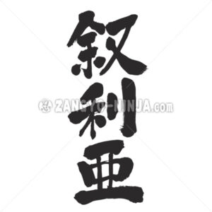
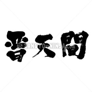
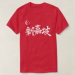
Description for “Singapore in Kanji”
The southernmost tip of the Malay Peninsula, the country of small islands bordering the Malay Peninsula by the Straits of Johor, and its capital.
It prospered as a port city in the 12th and 13th centuries, but was later deprived of its prosperity by Malacca. In 1819, the British Raffles rapidly developed from this area as a base for expansion into East Asia, and in 2014, it was incorporated into the Straits Settlements. Occupied by the Japanese army in 1942 and named Shonan, but returned to England after the war, was granted autonomy in 1959, became part of the Malaysian Federation in 1963, but withdrew from the Federation in 1965 and became an independent country. rice field. About 80% of the inhabitants are Chinese of Chinese descent.
Nature / Chorography
Although Singapore Island is structurally an extension of the Malay Peninsula, it is separated from the peninsula by a narrow Straits of Johor. The central and northern parts of the island are granite hills, the highest of which is only 177 meters from Buki Tema. Hill and valley are complicated in the southwestern part, but there are many lowlands in the eastern part. The Singapore, Jurong, and Geylang rivers flow to the south, and the Kranji and Serangung rivers flow to the north and east, but they are all small. The jungle now remains only in the central hills and is considered a water source protection forest. The eastern part of the Straits of Johor is deep enough to have a Sereter military port, but the western part is generally shallow. Coral reefs are also developing facing the Singapore Strait in the south.
The climate is a tropical rainforest type because it is close to the equator, with an annual average temperature of 27.4 ° C and annual rainfall of 2087 mm, but since it rains on average throughout the year, there is no clear distinction between the dry season and the rainy season. Most of the rainfall is squall type.


